Road junction in Nettleton Green
Introduction
The photograph on this page of Road junction in Nettleton Green by Neil Owen as part of the Geograph project.
The Geograph project started in 2005 with the aim of publishing, organising and preserving representative images for every square kilometre of Great Britain, Ireland and the Isle of Man.

There are currently over 7.5m images from over 14,400 individuals and you can help contribute to the project by visiting https://www.geograph.org.uk
Road junction in Nettleton Green
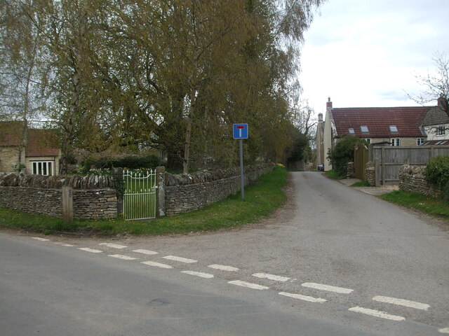
Image: © Neil Owen Taken: 8 Apr 2021
Tarmac has been laid at the crossroads here in the village. However, the main road (running across) is a C class road, with the cul-de-sac a D class that eventually stops further up. In the opposite direction is another lane that clearly follows the one seen here but is simply a grass footpath now. In the past this crossroads would likely have been of equal status.
Images are licensed for reuse under creativecommons.org/licenses/by-sa/2.0
Image Location
Latitude
51.504865
Longitude
-2.264045