Heading out of Tockwith
Introduction
The photograph on this page of Heading out of Tockwith by Gordon Hatton as part of the Geograph project.
The Geograph project started in 2005 with the aim of publishing, organising and preserving representative images for every square kilometre of Great Britain, Ireland and the Isle of Man.

There are currently over 7.5m images from over 14,400 individuals and you can help contribute to the project by visiting https://www.geograph.org.uk
Heading out of Tockwith
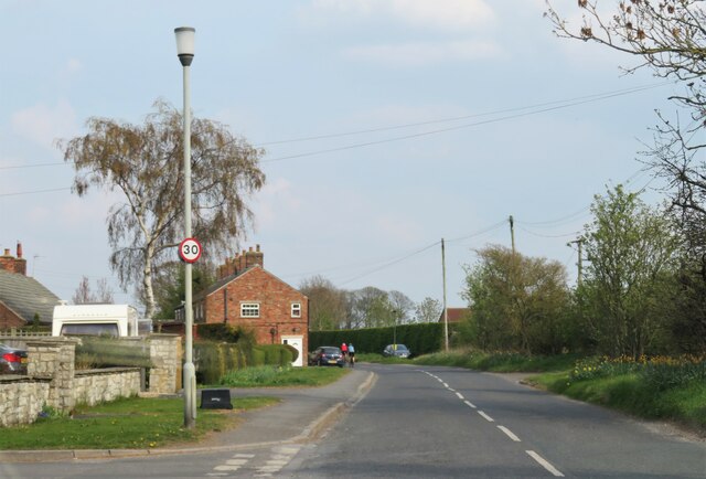
Image: © Gordon Hatton Taken: 20 Apr 2021
The row of terraced houses to the left of the road mark the end of the built up area in Tockwith, beyond here the road passes through open country towards Long Marston.
Images are licensed for reuse under creativecommons.org/licenses/by-sa/2.0
Image Location
Latitude
53.964515
Longitude
-1.277172