Ruined farm building
Introduction
The photograph on this page of Ruined farm building by Graham Horn as part of the Geograph project.
The Geograph project started in 2005 with the aim of publishing, organising and preserving representative images for every square kilometre of Great Britain, Ireland and the Isle of Man.

There are currently over 7.5m images from over 14,400 individuals and you can help contribute to the project by visiting https://www.geograph.org.uk
Ruined farm building
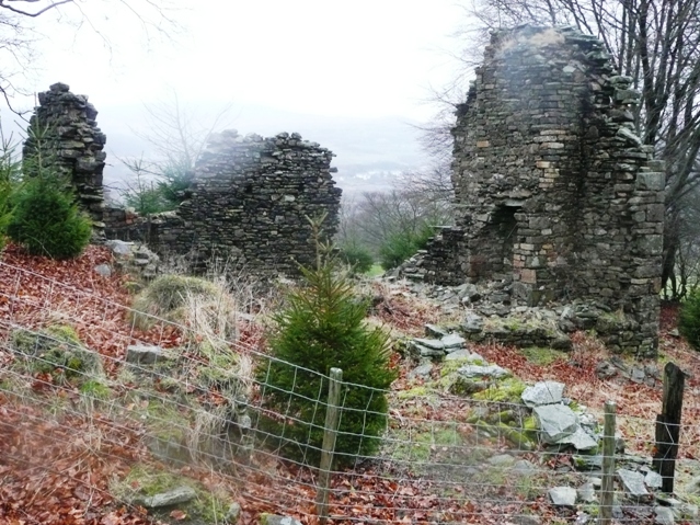
Image: © Graham Horn Taken: 3 Feb 2008
This ruined building still appears on 1:25K map. It is more likely to be a farm building rather than a mining one because of its location on a byway to the moors just above the enclosed fields.
Images are licensed for reuse under creativecommons.org/licenses/by-sa/2.0
Image Location
Latitude
51.717757
Longitude
-3.073451