The By Brook is barely a trickle
Introduction
The photograph on this page of The By Brook is barely a trickle by Neil Owen as part of the Geograph project.
The Geograph project started in 2005 with the aim of publishing, organising and preserving representative images for every square kilometre of Great Britain, Ireland and the Isle of Man.

There are currently over 7.5m images from over 14,400 individuals and you can help contribute to the project by visiting https://www.geograph.org.uk
The By Brook is barely a trickle
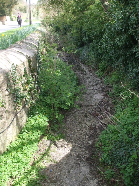
Image: © Neil Owen Taken: 8 Apr 2021
The waters normally rise near Junction 18 of the M5, flow through Burton and on towards Castle Combe. This April has been a rather dry one.
Images are licensed for reuse under creativecommons.org/licenses/by-sa/2.0
Image Location
Latitude
51.514486
Longitude
-2.263956