The A1088, Euston
Introduction
The photograph on this page of The A1088, Euston by David Howard as part of the Geograph project.
The Geograph project started in 2005 with the aim of publishing, organising and preserving representative images for every square kilometre of Great Britain, Ireland and the Isle of Man.

There are currently over 7.5m images from over 14,400 individuals and you can help contribute to the project by visiting https://www.geograph.org.uk
The A1088, Euston
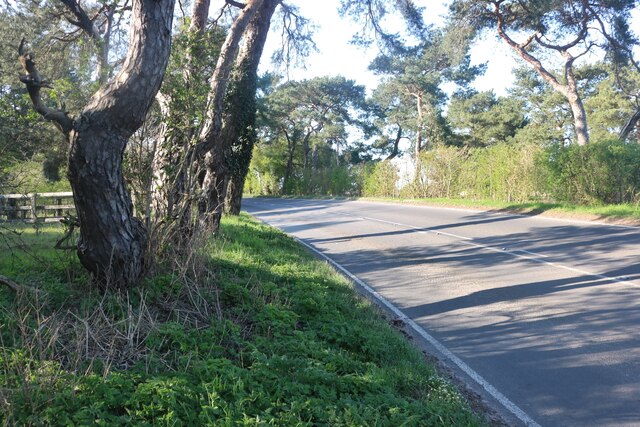
Image: © David Howard Taken: 18 Apr 2021
I used the GPS to confirm this point. The road clips the square and going to this side made sure the whole picture was in TL8880.
Images are licensed for reuse under creativecommons.org/licenses/by-sa/2.0
Image Location
Latitude
52.394121
Longitude
0.776007