Aerial view of Longstanton Road, Oakington
Introduction
The photograph on this page of Aerial view of Longstanton Road, Oakington by Pauline A Marsh as part of the Geograph project.
The Geograph project started in 2005 with the aim of publishing, organising and preserving representative images for every square kilometre of Great Britain, Ireland and the Isle of Man.

There are currently over 7.5m images from over 14,400 individuals and you can help contribute to the project by visiting https://www.geograph.org.uk
Aerial view of Longstanton Road, Oakington
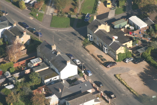
Image: © Pauline A Marsh Taken: 21 Oct 2007
Aerial view of Longstanton Road, showing the "White Horse'pub.
Images are licensed for reuse under creativecommons.org/licenses/by-sa/2.0
Image Location
Latitude
52.259191
Longitude
0.062851