Denmoss Farm
Introduction
The photograph on this page of Denmoss Farm by Andrew Wood as part of the Geograph project.
The Geograph project started in 2005 with the aim of publishing, organising and preserving representative images for every square kilometre of Great Britain, Ireland and the Isle of Man.

There are currently over 7.5m images from over 14,400 individuals and you can help contribute to the project by visiting https://www.geograph.org.uk
Denmoss Farm
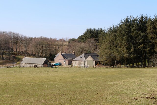
Image: © Andrew Wood Taken: 17 Apr 2021
The Farm of Denmoss from further up its eponymous hill and a pond by Balgaveny House in the Den of Largue visible on the left.
Images are licensed for reuse under creativecommons.org/licenses/by-sa/2.0
Image Location
Latitude
57.462095
Longitude
-2.57804