Knows Ruin
Introduction
The photograph on this page of Knows Ruin by Andrew Wood as part of the Geograph project.
The Geograph project started in 2005 with the aim of publishing, organising and preserving representative images for every square kilometre of Great Britain, Ireland and the Isle of Man.

There are currently over 7.5m images from over 14,400 individuals and you can help contribute to the project by visiting https://www.geograph.org.uk
Knows Ruin
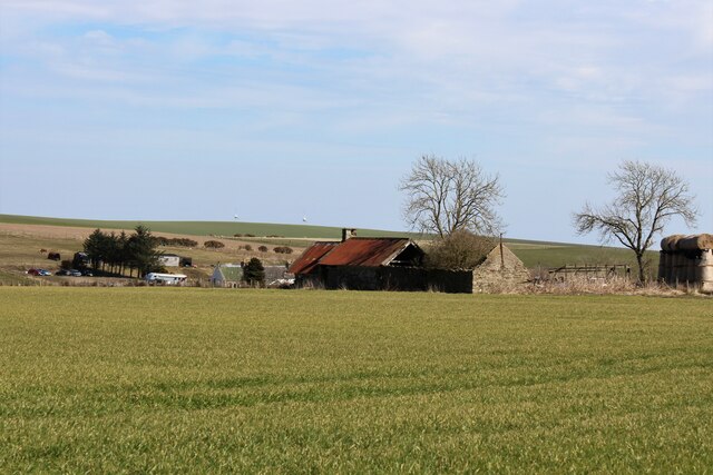
Image: © Andrew Wood Taken: 17 Apr 2021
What appears to be a ruined croft at Knows of Balgaveny. This could be the site of an early smithy as on the 1888-1914 the Knows of Balgaveny are shown as "Smithy".
Images are licensed for reuse under creativecommons.org/licenses/by-sa/2.0
Image Location
Latitude
57.456106
Longitude
-2.571612