Roquebrune
Introduction
The photograph on this page of Roquebrune by Ian Capper as part of the Geograph project.
The Geograph project started in 2005 with the aim of publishing, organising and preserving representative images for every square kilometre of Great Britain, Ireland and the Isle of Man.

There are currently over 7.5m images from over 14,400 individuals and you can help contribute to the project by visiting https://www.geograph.org.uk
Roquebrune
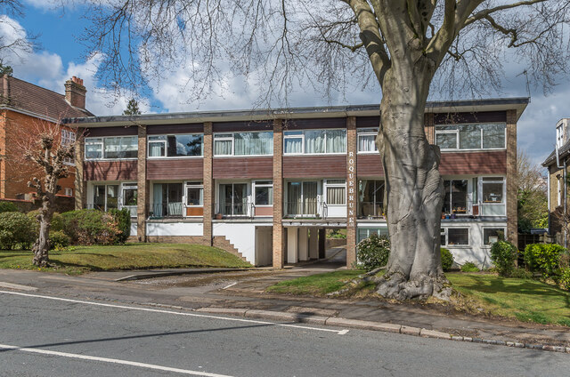
Image: © Ian Capper Taken: 12 Apr 2021
Block of 7 maisonettes at 139 Blackborough Road marked on the 1962 1:1,250 map, suggesting a build date in the c.1950s.
Images are licensed for reuse under creativecommons.org/licenses/by-sa/2.0
Image Location
Latitude
51.236281
Longitude
-0.183934