The Chase
Introduction
The photograph on this page of The Chase by Ian Capper as part of the Geograph project.
The Geograph project started in 2005 with the aim of publishing, organising and preserving representative images for every square kilometre of Great Britain, Ireland and the Isle of Man.

There are currently over 7.5m images from over 14,400 individuals and you can help contribute to the project by visiting https://www.geograph.org.uk
The Chase
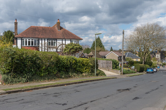
Image: © Ian Capper Taken: 12 Apr 2021
A road marked on 19th and early 20th Century maps as Chart Road, but with no development, part of a line of paths and roads connecting Cockshot Hill and Shaws Corner. The current name first appears on the 1935 1:2,500 map, along with a few houses, including no 25, seen here. In the distance is St Paul's United Reformed Church.
Images are licensed for reuse under creativecommons.org/licenses/by-sa/2.0
Image Location
Latitude
51.235502
Longitude
-0.183578