Bridleway and farmland near Seisdon in Staffordshire
Introduction
The photograph on this page of Bridleway and farmland near Seisdon in Staffordshire by Roger Kidd as part of the Geograph project.
The Geograph project started in 2005 with the aim of publishing, organising and preserving representative images for every square kilometre of Great Britain, Ireland and the Isle of Man.

There are currently over 7.5m images from over 14,400 individuals and you can help contribute to the project by visiting https://www.geograph.org.uk
Bridleway and farmland near Seisdon in Staffordshire
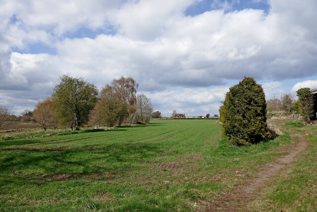
Image: © Roger Kidd Taken: 12 Apr 2021
Looking north from near Blakeley Pool Farm. In the distance is Lealans Garden Centre. The bridleway is not signposted here, and a gate is padlocked behind the camera by Blakekey Pool Lane. The mapped route ahead should be along the straight line of coniferous trees, to its right, but the way is blocked. The nearby track northwards by Birches Farm is accessible through to the A454 Bridgnorth Road, so is this a rerouting of the bridleway? A footpath from Seisdon joins the bridleway here from the right, but I saw no waymarker.
Images are licensed for reuse under creativecommons.org/licenses/by-sa/2.0
Image Location
Latitude
52.561021
Longitude
-2.25412