Dalmellington Parish Church
Introduction
The photograph on this page of Dalmellington Parish Church by Chris Newman as part of the Geograph project.
The Geograph project started in 2005 with the aim of publishing, organising and preserving representative images for every square kilometre of Great Britain, Ireland and the Isle of Man.

There are currently over 7.5m images from over 14,400 individuals and you can help contribute to the project by visiting https://www.geograph.org.uk
Dalmellington Parish Church
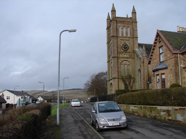
Image: © Chris Newman Taken: 7 Feb 2008
Dalmellington Parish Church stands in a commanding position at the N side of town on Knowehead (parallel with High Main St). Built 1846 of local Dunaskin sandstone, it was formerly known as "The Kirk o` The Covenant".
Images are licensed for reuse under creativecommons.org/licenses/by-sa/2.0
Image Location
Latitude
55.325686
Longitude
-4.396547