Former National School
Introduction
The photograph on this page of Former National School by Philip Halling as part of the Geograph project.
The Geograph project started in 2005 with the aim of publishing, organising and preserving representative images for every square kilometre of Great Britain, Ireland and the Isle of Man.

There are currently over 7.5m images from over 14,400 individuals and you can help contribute to the project by visiting https://www.geograph.org.uk
Former National School
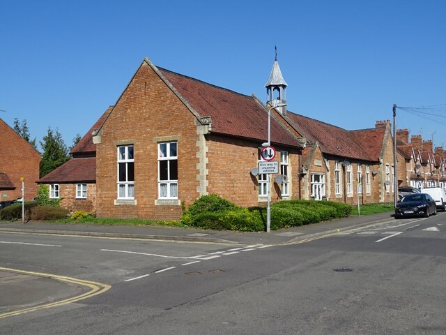
Image: © Philip Halling Taken: 4 Apr 2021
Former National School with the date 1896 inscribed above the door. The building is no longer a school and has been converted in apartments.
Images are licensed for reuse under creativecommons.org/licenses/by-sa/2.0
Image Location
Latitude
52.091538
Longitude
-1.934711