Pennan Head from Mill Shore
Introduction
The photograph on this page of Pennan Head from Mill Shore by Nigel Feilden as part of the Geograph project.
The Geograph project started in 2005 with the aim of publishing, organising and preserving representative images for every square kilometre of Great Britain, Ireland and the Isle of Man.

There are currently over 7.5m images from over 14,400 individuals and you can help contribute to the project by visiting https://www.geograph.org.uk
Pennan Head from Mill Shore
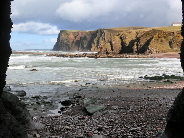
Image: © Nigel Feilden Taken: 9 Apr 2021
Taken near a low tide looking across Mill Shore. It is framed by the sides of a narrow sea cave, which is the third one counting S to N along the cliff on the W side of Mill Shore. The unnamed headland with the house at top right prevents one from seeing more of Pennan Bay.
Images are licensed for reuse under creativecommons.org/licenses/by-sa/2.0
Image Location
Latitude
57.681554
Longitude
-2.267347