Chapel conversion, Park Lane (1)
Introduction
The photograph on this page of Chapel conversion, Park Lane (1) by Stephen Craven as part of the Geograph project.
The Geograph project started in 2005 with the aim of publishing, organising and preserving representative images for every square kilometre of Great Britain, Ireland and the Isle of Man.

There are currently over 7.5m images from over 14,400 individuals and you can help contribute to the project by visiting https://www.geograph.org.uk
Chapel conversion, Park Lane (1)
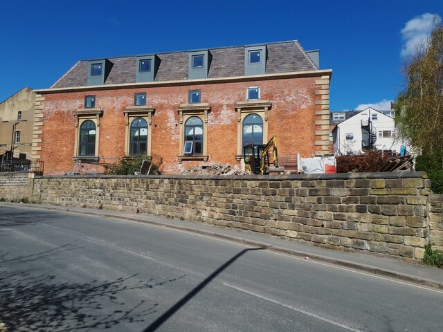
Image: © Stephen Craven Taken: 15 Apr 2021
This former Methodist church was being converted for a second (or subsequent) time. At one time it was a warehouse, then a business venue (ADP House), as of 2016 it was the Ahlul Bayt Islamic Cultural Centre, and in 2020 planning permission was granted for "Alterations and addition of new second floor to form residential units", which is now nearing completion. See Image for a bit more history.
Images are licensed for reuse under creativecommons.org/licenses/by-sa/2.0
Image Location
Latitude
53.800505
Longitude
-1.559968