Farmland north-west of Seisdon in Staffordshire
Introduction
The photograph on this page of Farmland north-west of Seisdon in Staffordshire by Roger Kidd as part of the Geograph project.
The Geograph project started in 2005 with the aim of publishing, organising and preserving representative images for every square kilometre of Great Britain, Ireland and the Isle of Man.

There are currently over 7.5m images from over 14,400 individuals and you can help contribute to the project by visiting https://www.geograph.org.uk
Farmland north-west of Seisdon in Staffordshire
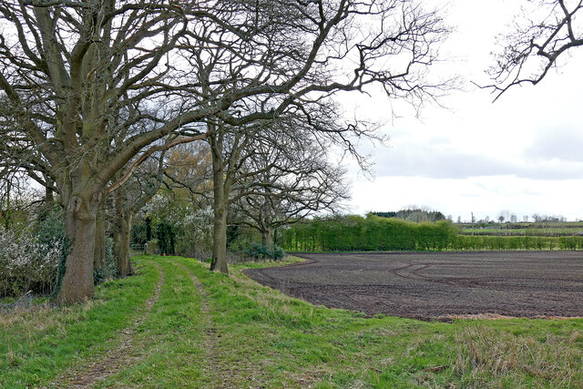
Image: © Roger Kidd Taken: 12 Apr 2021
The track is marked as a bridleway on maps. Currently the gate ahead by Blakeley Pool Lane is padlocked shut. Behind the camera, the way is impeded by Birches Cottage, though the nearby alternative way by Birches Farm (which I took by mistake) is clear through to the A454 Bridgnorth Road, where there is no bridleway sign post. Current council rights of way maps (2021) do not show any recent changes to the bridleway status.
Images are licensed for reuse under creativecommons.org/licenses/by-sa/2.0
Image Location
Latitude
52.56003
Longitude
-2.254704