Benchmark on gatepost at field gateway on NE side of Maidenhill Road
Introduction
The photograph on this page of Benchmark on gatepost at field gateway on NE side of Maidenhill Road by Luke Shaw as part of the Geograph project.
The Geograph project started in 2005 with the aim of publishing, organising and preserving representative images for every square kilometre of Great Britain, Ireland and the Isle of Man.

There are currently over 7.5m images from over 14,400 individuals and you can help contribute to the project by visiting https://www.geograph.org.uk
Benchmark on gatepost at field gateway on NE side of Maidenhill Road
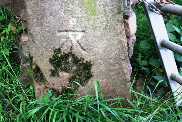
Image: © Luke Shaw Taken: 18 Sep 2020
Ordnance Survey cut mark benchmark shown on 1925 Map as levelled at 682.7 feet above mean sea level
Images are licensed for reuse under creativecommons.org/licenses/by-sa/2.0
Image Location
Latitude
54.680279
Longitude
-2.720994