Footpath in Long Wittenham
Introduction
The photograph on this page of Footpath in Long Wittenham by Roger Templeman as part of the Geograph project.
The Geograph project started in 2005 with the aim of publishing, organising and preserving representative images for every square kilometre of Great Britain, Ireland and the Isle of Man.

There are currently over 7.5m images from over 14,400 individuals and you can help contribute to the project by visiting https://www.geograph.org.uk
Footpath in Long Wittenham
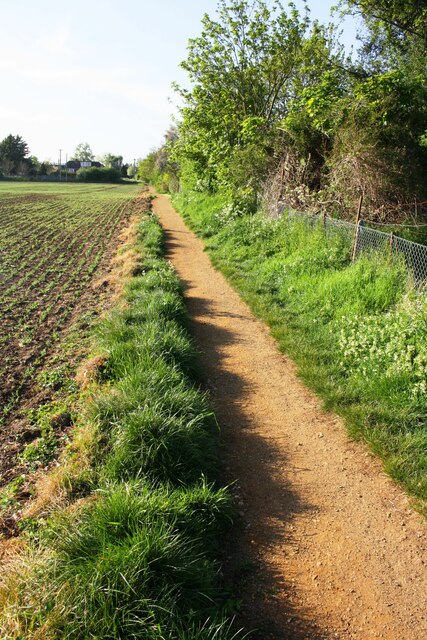
Image: © Roger Templeman Taken: 22 Apr 2020
Ordnance Survey records indicate that a buried block triangulation station, http://trigpointing.uk/trig/21339 was installed in the field to the left of the path in June 1960. It altitude above mean sea level was not determined
Images are licensed for reuse under creativecommons.org/licenses/by-sa/2.0
Image Location
Latitude
51.637235
Longitude
-1.215478