Farmland near Stewarton
Introduction
The photograph on this page of Farmland near Stewarton by Alec MacKinnon as part of the Geograph project.
The Geograph project started in 2005 with the aim of publishing, organising and preserving representative images for every square kilometre of Great Britain, Ireland and the Isle of Man.

There are currently over 7.5m images from over 14,400 individuals and you can help contribute to the project by visiting https://www.geograph.org.uk
Farmland near Stewarton
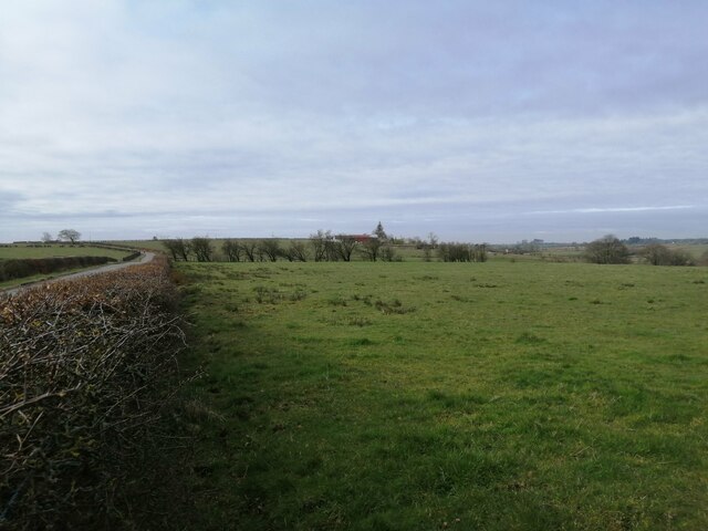
Image: © Alec MacKinnon Taken: 13 Apr 2021
The picture looks towards Gateside Farm. Coastal light on the horizon.
Images are licensed for reuse under creativecommons.org/licenses/by-sa/2.0
Image Location
Latitude
55.703296
Longitude
-4.490607