Lane from Forces Cross
Introduction
The photograph on this page of Lane from Forces Cross by Derek Harper as part of the Geograph project.
The Geograph project started in 2005 with the aim of publishing, organising and preserving representative images for every square kilometre of Great Britain, Ireland and the Isle of Man.

There are currently over 7.5m images from over 14,400 individuals and you can help contribute to the project by visiting https://www.geograph.org.uk
Lane from Forces Cross
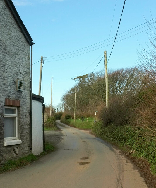
Image: © Derek Harper Taken: 26 Nov 2020
The lane on the right of Image], carrying NCN28, with the former pub on the left. A roadside belt of trees begins in about 50 metres.
Images are licensed for reuse under creativecommons.org/licenses/by-sa/2.0
Image Location


Leaflet Map data © OpenStreetMap
Latitude
50.36362
Longitude
-3.677831