Thane Road Bridge
Introduction
The photograph on this page of Thane Road Bridge by Alan Murray-Rust as part of the Geograph project.
The Geograph project started in 2005 with the aim of publishing, organising and preserving representative images for every square kilometre of Great Britain, Ireland and the Isle of Man.

There are currently over 7.5m images from over 14,400 individuals and you can help contribute to the project by visiting https://www.geograph.org.uk
Thane Road Bridge
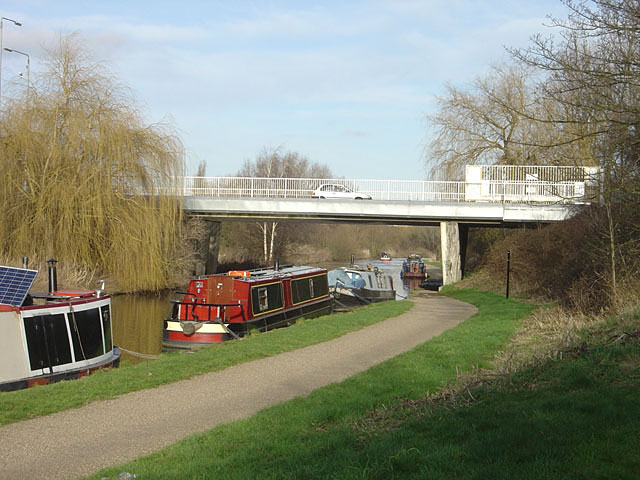
Image: © Alan Murray-Rust Taken: 27 Jan 2008
The land is built up on either side of the canal to keep buildings above the flood plain. The bridge is the eastern entrance into the Boots, Beeston, site. There are official visitor moorings on the Canal here although it is a long way from any services as the area is entirely industrial.
Images are licensed for reuse under creativecommons.org/licenses/by-sa/2.0
Image Location
Latitude
52.924986
Longitude
-1.182293