Beeston Canal at Dunkirk
Introduction
The photograph on this page of Beeston Canal at Dunkirk by Alan Murray-Rust as part of the Geograph project.
The Geograph project started in 2005 with the aim of publishing, organising and preserving representative images for every square kilometre of Great Britain, Ireland and the Isle of Man.

There are currently over 7.5m images from over 14,400 individuals and you can help contribute to the project by visiting https://www.geograph.org.uk
Beeston Canal at Dunkirk
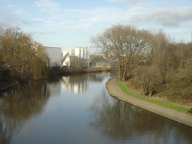
Image: © Alan Murray-Rust Taken: 27 Jan 2008
A fine broad reach through Dunkirk, taken from Redfield Road bridge. The visible industrial development is relatively recent. Before the construction of Redfield Road in the 1980s, the only access was through some restricted headroom bridges under the railway.
Images are licensed for reuse under creativecommons.org/licenses/by-sa/2.0
Image Location
Latitude
52.934506
Longitude
-1.180924