Kirklees Brook near Brookhouse Mill
Introduction
The photograph on this page of Kirklees Brook near Brookhouse Mill by David Dixon as part of the Geograph project.
The Geograph project started in 2005 with the aim of publishing, organising and preserving representative images for every square kilometre of Great Britain, Ireland and the Isle of Man.

There are currently over 7.5m images from over 14,400 individuals and you can help contribute to the project by visiting https://www.geograph.org.uk
Kirklees Brook near Brookhouse Mill
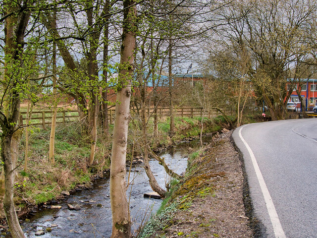
Image: © David Dixon Taken: 8 Apr 2021
Kirklees Brook springs from the slopes of Holcombe Moor at Grainings, north of Hawkshaw, flowing south for approx. 6½ miles before joining the River Irwell in the Woodhill area of Bury. At Brookhouse Mill between Greenmount and Tottington, there are a number of small connected reservoirs.
Images are licensed for reuse under creativecommons.org/licenses/by-sa/2.0
Image Location
Latitude
53.620163
Longitude
-2.341476