Grange Court (Leominster)
Introduction
The photograph on this page of Grange Court (Leominster) by Stuart Wilding as part of the Geograph project.
The Geograph project started in 2005 with the aim of publishing, organising and preserving representative images for every square kilometre of Great Britain, Ireland and the Isle of Man.

There are currently over 7.5m images from over 14,400 individuals and you can help contribute to the project by visiting https://www.geograph.org.uk
Grange Court (Leominster)
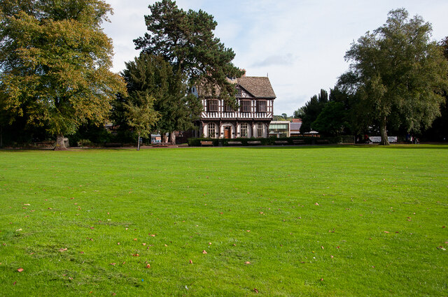
Image: © Stuart Wilding Taken: 17 Oct 2013
The former Town Hall, erected by John Abel in 1633 at the junction of High Street and Broad Street. It was moved here in 1855 and converted into a Victorian home.
Images are licensed for reuse under creativecommons.org/licenses/by-sa/2.0
Image Location


Leaflet Map data © OpenStreetMap
Latitude
52.227711
Longitude
-2.736377