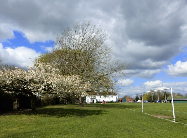
The Mount playing fields, Ospringe
Introduction
The photograph on this page of The Mount playing fields, Ospringe by pam fray as part of the Geograph project.
The Geograph project started in 2005 with the aim of publishing, organising and preserving representative images for every square kilometre of Great Britain, Ireland and the Isle of Man.
There are currently over 7.5m images from over 14,400 individuals and you can help contribute to the project by visiting https://www.geograph.org.uk

Image: © pam fray Taken: 11 Apr 2021
In the distance is The Mount, a large 18th-century house, Grade II listed. In 1837 it was occupied by Lieutenant-general Gerard Gosselin who died in 1859 and by 1866 the house was occupied by Percy Beale Neame, a hop farmer who, in 1864, had become a partner in the Faversham brewing business which became known as Shepherd Neame. It was used as a hospital during World War I and after the war it was used as a home for refugee children from Serbia. In 1921 it became a National Children's Home property, closing in the 1930s. The building was later used as an office by the Ministry of National Insurance and by the Kent Agricultural Emergency Committee. It is now divided into residential flats.

