Cansiron Lane, Ashurstwood
Introduction
The photograph on this page of Cansiron Lane, Ashurstwood by Simon Carey as part of the Geograph project.
The Geograph project started in 2005 with the aim of publishing, organising and preserving representative images for every square kilometre of Great Britain, Ireland and the Isle of Man.

There are currently over 7.5m images from over 14,400 individuals and you can help contribute to the project by visiting https://www.geograph.org.uk
Cansiron Lane, Ashurstwood
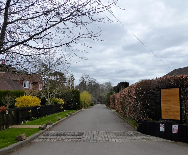
Image: © Simon Carey Taken: 7 Apr 2021
This cul de sac is actually an offshoot of Cansiron Lane itself and is a private road though a public footpath.
Images are licensed for reuse under creativecommons.org/licenses/by-sa/2.0
Image Location
Latitude
51.111525
Longitude
0.039474