The Meadow
Introduction
The photograph on this page of The Meadow by Simon Carey as part of the Geograph project.
The Geograph project started in 2005 with the aim of publishing, organising and preserving representative images for every square kilometre of Great Britain, Ireland and the Isle of Man.

There are currently over 7.5m images from over 14,400 individuals and you can help contribute to the project by visiting https://www.geograph.org.uk
The Meadow
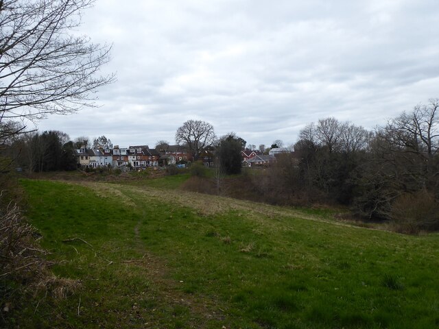
Image: © Simon Carey Taken: 7 Apr 2021
The name of the field according to East Grinstead's 1841 tithe map located to the north of Ashurstwood Primary School with the rear of the houses in Phoenix Lane in view.
Images are licensed for reuse under creativecommons.org/licenses/by-sa/2.0
Image Location
Latitude
51.113115
Longitude
0.030828