Shovelstrode Lane
Introduction
The photograph on this page of Shovelstrode Lane by Simon Carey as part of the Geograph project.
The Geograph project started in 2005 with the aim of publishing, organising and preserving representative images for every square kilometre of Great Britain, Ireland and the Isle of Man.

There are currently over 7.5m images from over 14,400 individuals and you can help contribute to the project by visiting https://www.geograph.org.uk
Shovelstrode Lane
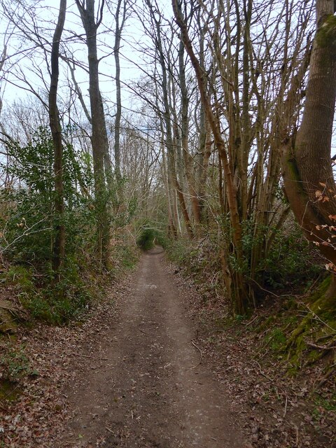
Image: © Simon Carey Taken: 7 Apr 2021
An old track that once linked Shovelstrode Farm to East Grinstead that has now been reduced in status to that of a bridleway. To the north of the farm the lane becomes metalled and heads towards the A264.
Images are licensed for reuse under creativecommons.org/licenses/by-sa/2.0
Image Location
Latitude
51.120171
Longitude
0.012847