Farm buildings at The Luham on SE side of rural road
Introduction
The photograph on this page of Farm buildings at The Luham on SE side of rural road by Roger Templeman as part of the Geograph project.
The Geograph project started in 2005 with the aim of publishing, organising and preserving representative images for every square kilometre of Great Britain, Ireland and the Isle of Man.

There are currently over 7.5m images from over 14,400 individuals and you can help contribute to the project by visiting https://www.geograph.org.uk
Farm buildings at The Luham on SE side of rural road
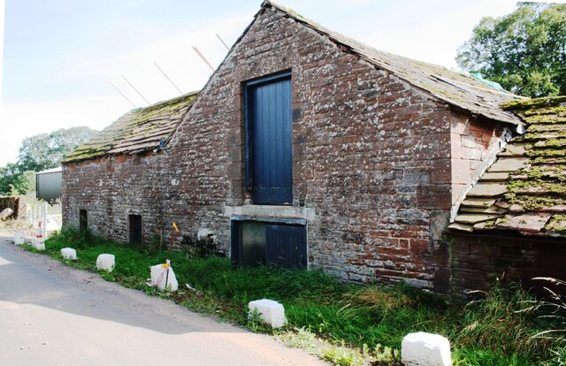
Image: © Roger Templeman Taken: 14 Sep 2020
There is an Ordnance Survey benchmark Image on the second quoin above the verge at the near corner of the large barn
Images are licensed for reuse under creativecommons.org/licenses/by-sa/2.0
Image Location
Latitude
54.692046
Longitude
-2.691106