Crank Lane - a path to nowhere?
Introduction
The photograph on this page of Crank Lane - a path to nowhere? by Gordon Hatton as part of the Geograph project.
The Geograph project started in 2005 with the aim of publishing, organising and preserving representative images for every square kilometre of Great Britain, Ireland and the Isle of Man.

There are currently over 7.5m images from over 14,400 individuals and you can help contribute to the project by visiting https://www.geograph.org.uk
Crank Lane - a path to nowhere?
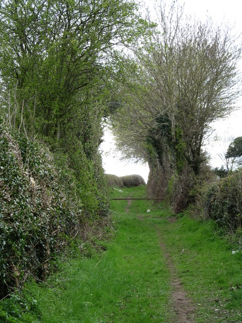
Image: © Gordon Hatton Taken: 7 Apr 2021
Crank Lane is now a public footpath, but is shown as a bridle road on first edition OS maps. Long ago it linked with Leeming Lane, the old Great North Road which is now a three lane motorway. Some current OS maps show the lane terminating at the edge of the motorway, but there is now an alternative to left or right along a recently created bridleway that runs parallel to the A1(M).
Images are licensed for reuse under creativecommons.org/licenses/by-sa/2.0
Image Location
Latitude
54.330832
Longitude
-1.575703