Penn Brook north of Gospel End in Staffordshire
Introduction
The photograph on this page of Penn Brook north of Gospel End in Staffordshire by Roger Kidd as part of the Geograph project.
The Geograph project started in 2005 with the aim of publishing, organising and preserving representative images for every square kilometre of Great Britain, Ireland and the Isle of Man.

There are currently over 7.5m images from over 14,400 individuals and you can help contribute to the project by visiting https://www.geograph.org.uk
Penn Brook north of Gospel End in Staffordshire
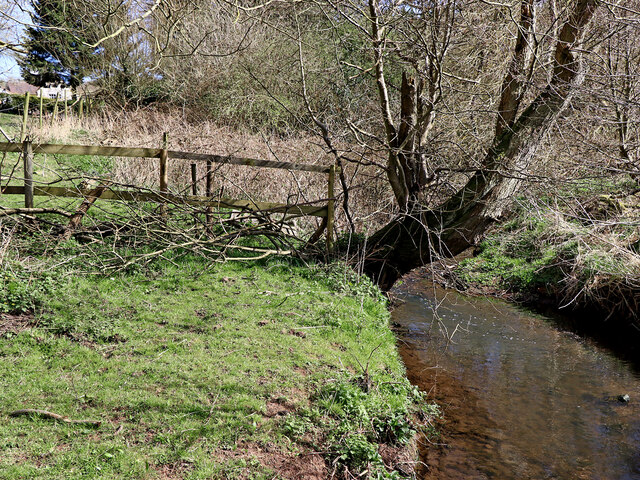
Image: © Roger Kidd Taken: 29 Mar 2021
Looking south-east (upstream) towards Sedgley, from the footbridge. Penn Brook rises just under a mile to the north-east on Park Hill near Goldthorn Park. It flows south-west towards Wombourne, having changed its name to Wom Brook, then on to join the Smestow Brook.
Images are licensed for reuse under creativecommons.org/licenses/by-sa/2.0
Image Location
Latitude
52.547
Longitude
-2.1458