Attenborough Station and level crossing
Introduction
The photograph on this page of Attenborough Station and level crossing by David Lally as part of the Geograph project.
The Geograph project started in 2005 with the aim of publishing, organising and preserving representative images for every square kilometre of Great Britain, Ireland and the Isle of Man.

There are currently over 7.5m images from over 14,400 individuals and you can help contribute to the project by visiting https://www.geograph.org.uk
Attenborough Station and level crossing
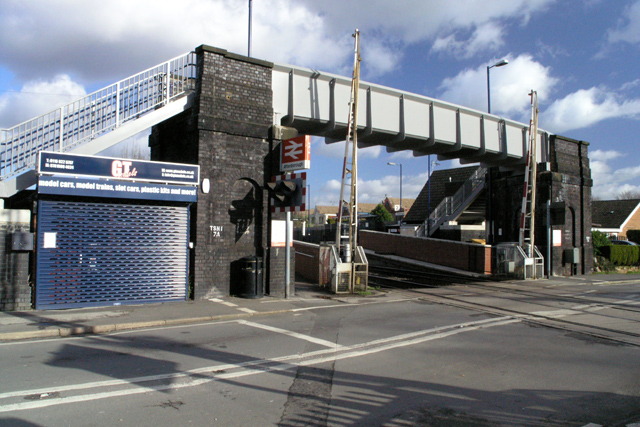
Image: © David Lally Taken: 6 Feb 2008
Now completely unmanned. Substantial dark brick pillars support a footbridge which I suspect is hardly ever used. When the barriers drop most pedestrians opt to wait than take the detour and climb.
Images are licensed for reuse under creativecommons.org/licenses/by-sa/2.0
Image Location
Latitude
52.906347
Longitude
-1.231562