Stonefield Public Park, Blantyre
Introduction
The photograph on this page of Stonefield Public Park, Blantyre by wrobison as part of the Geograph project.
The Geograph project started in 2005 with the aim of publishing, organising and preserving representative images for every square kilometre of Great Britain, Ireland and the Isle of Man.

There are currently over 7.5m images from over 14,400 individuals and you can help contribute to the project by visiting https://www.geograph.org.uk
Stonefield Public Park, Blantyre
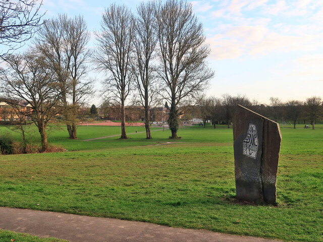
Image: © wrobison Taken: 2 Apr 2021
Established around 1920 on the site of an old quarry. The park was renamed McAnulty Park in 2007 in honour of 'Andra' McAnulty a pioneer of the Lanarkshire Miners' Union. By then, the park had lost many of the old amenities and attractions such as the boating pond, paddling pool, putting green, floral clock and the bandstand. For more about Andra McAnulty see https://blantyre.biz/blantyre-folk/andra-mcanulty/
Images are licensed for reuse under creativecommons.org/licenses/by-sa/2.0
Image Location
Latitude
55.795482
Longitude
-4.086952