Chartfield Road
Introduction
The photograph on this page of Chartfield Road by Ian Capper as part of the Geograph project.
The Geograph project started in 2005 with the aim of publishing, organising and preserving representative images for every square kilometre of Great Britain, Ireland and the Isle of Man.

There are currently over 7.5m images from over 14,400 individuals and you can help contribute to the project by visiting https://www.geograph.org.uk
Chartfield Road
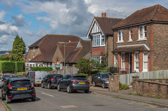
Image: © Ian Capper Taken: 31 Aug 2020
Houses in Chartfield Road, a road marked out in outline on the 1914 1:2,500 map, but with no houses shown. Beyond is the Reigate Ex-Service and Social Club (originally the Reigate ex-Service Men's Club, and now branded REXS), a building dating from the late 1920s.
Images are licensed for reuse under creativecommons.org/licenses/by-sa/2.0
Image Location
Latitude
51.233433
Longitude
-0.195706