Trevethick's Boatyard
Introduction
The photograph on this page of Trevethick's Boatyard by Alan Murray-Rust as part of the Geograph project.
The Geograph project started in 2005 with the aim of publishing, organising and preserving representative images for every square kilometre of Great Britain, Ireland and the Isle of Man.

There are currently over 7.5m images from over 14,400 individuals and you can help contribute to the project by visiting https://www.geograph.org.uk
Trevethick's Boatyard
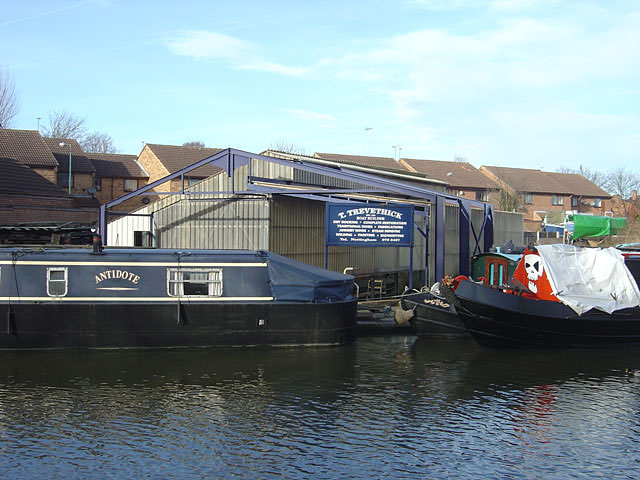
Image: © Alan Murray-Rust Taken: 27 Jan 2008
This is the dry dock, which is capable of dealing with two narrow or one wide-beam craft. The yard dates from the end of the 18th century when the canal was built, although the current firm did not take over until the early 20th century.
Images are licensed for reuse under creativecommons.org/licenses/by-sa/2.0
Image Location
Latitude
52.942569
Longitude
-1.176902