Greenfields Crescent
Introduction
The photograph on this page of Greenfields Crescent by Richard Law as part of the Geograph project.
The Geograph project started in 2005 with the aim of publishing, organising and preserving representative images for every square kilometre of Great Britain, Ireland and the Isle of Man.

There are currently over 7.5m images from over 14,400 individuals and you can help contribute to the project by visiting https://www.geograph.org.uk
Greenfields Crescent
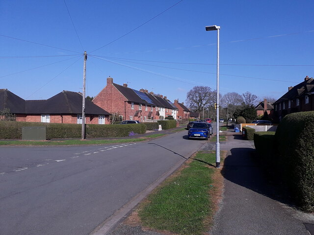
Image: © Richard Law Taken: 3 Apr 2021
The road at the junction on the left leads out of the estate, taking traffic to Curriers Lane.
Images are licensed for reuse under creativecommons.org/licenses/by-sa/2.0
Image Location
Latitude
52.669674
Longitude
-2.369209