New housing south of Water Lane, Bull Farm
Introduction
The photograph on this page of New housing south of Water Lane, Bull Farm by Richard Vince as part of the Geograph project.
The Geograph project started in 2005 with the aim of publishing, organising and preserving representative images for every square kilometre of Great Britain, Ireland and the Isle of Man.

There are currently over 7.5m images from over 14,400 individuals and you can help contribute to the project by visiting https://www.geograph.org.uk
New housing south of Water Lane, Bull Farm
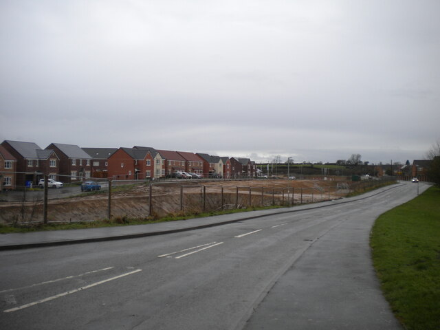
Image: © Richard Vince Taken: 12 Dec 2020
Many of the houses on this development appear to be occupied, even though the infrastructure is still under construction. Like a lot of housing developments of recent years, this one seems to have been designed to be as separate as possible from the existing housing in the area.
Images are licensed for reuse under creativecommons.org/licenses/by-sa/2.0
Image Location
Latitude
53.155419
Longitude
-1.22802