Ditch at Bowiebank
Introduction
The photograph on this page of Ditch at Bowiebank by Anne Burgess as part of the Geograph project.
The Geograph project started in 2005 with the aim of publishing, organising and preserving representative images for every square kilometre of Great Britain, Ireland and the Isle of Man.

There are currently over 7.5m images from over 14,400 individuals and you can help contribute to the project by visiting https://www.geograph.org.uk
Ditch at Bowiebank
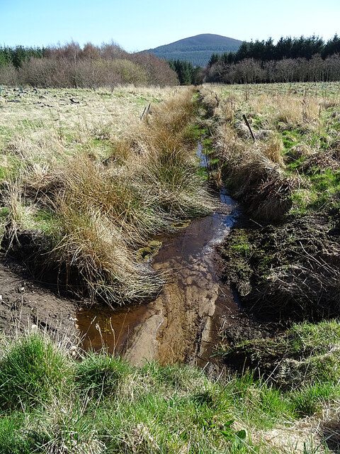
Image: © Anne Burgess Taken: 3 Apr 2021
The ditch channels water from a spring beside Bowiebank by a circuitous route into the Burn of Rathven. The pale brown splodge in the foreground is sand under the water, which is crystal clear. The hill in the distance is the Bin of Cullen.
Images are licensed for reuse under creativecommons.org/licenses/by-sa/2.0
Image Location
Latitude
57.684279
Longitude
-2.894513