Approaching Glan Rhyd
Introduction
The photograph on this page of Approaching Glan Rhyd by Eric Jones as part of the Geograph project.
The Geograph project started in 2005 with the aim of publishing, organising and preserving representative images for every square kilometre of Great Britain, Ireland and the Isle of Man.

There are currently over 7.5m images from over 14,400 individuals and you can help contribute to the project by visiting https://www.geograph.org.uk
Approaching Glan Rhyd
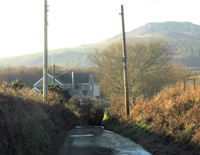
Image: © Eric Jones Taken: 19 Dec 2007
The house known as Glan Rhyd (=side of the ford) stands on the western bank of a small stream, now culverted, alongside the Mynydd Nefyn road. The hill in the background is Garn Boduan.
Images are licensed for reuse under creativecommons.org/licenses/by-sa/2.0
Image Location


Leaflet Map data © OpenStreetMap
Latitude
52.92727
Longitude
-4.488083