"Fork right and climb up"
Introduction
The photograph on this page of "Fork right and climb up" by Christine Johnstone as part of the Geograph project.
The Geograph project started in 2005 with the aim of publishing, organising and preserving representative images for every square kilometre of Great Britain, Ireland and the Isle of Man.

There are currently over 7.5m images from over 14,400 individuals and you can help contribute to the project by visiting https://www.geograph.org.uk
"Fork right and climb up"
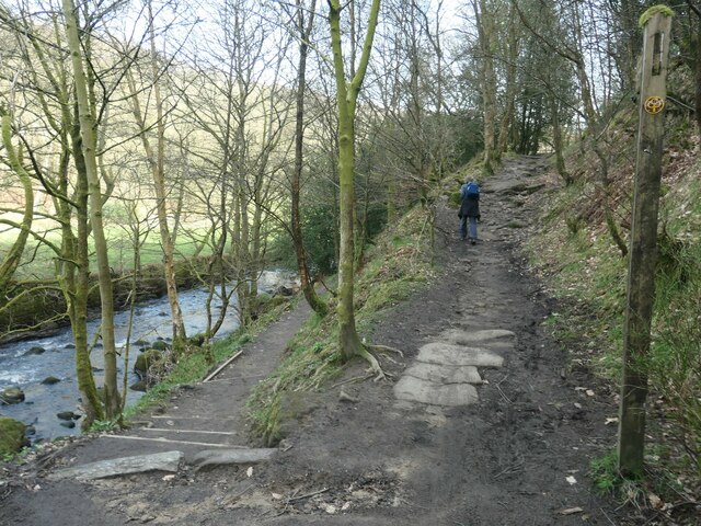
Image: © Christine Johnstone Taken: 30 Mar 2021
Public footpath junction on the west bank of Hebden Water. The higher path is part of the Calderdale Way. Quoted from 'Route 23: High Brown Knoll, White Hill & Crimsworth Dean from Hebden Bridge' in Christopher Goddard's guidebook, 'The West Yorkshire Moors'.
Images are licensed for reuse under creativecommons.org/licenses/by-sa/2.0
Image Location
Latitude
53.757089
Longitude
-2.017405