The Grantham Canal (disused) by the side of Blue Hill
Introduction
The photograph on this page of The Grantham Canal (disused) by the side of Blue Hill by Tim Heaton as part of the Geograph project.
The Geograph project started in 2005 with the aim of publishing, organising and preserving representative images for every square kilometre of Great Britain, Ireland and the Isle of Man.

There are currently over 7.5m images from over 14,400 individuals and you can help contribute to the project by visiting https://www.geograph.org.uk
The Grantham Canal (disused) by the side of Blue Hill
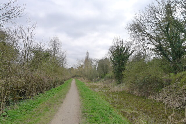
Image: © Tim Heaton Taken: 22 Mar 2021
The canal wanders around the edge of the Vale of Belvoir. Its towpath provides 24 miles of cycle path between Nottingham and Grantham.
Images are licensed for reuse under creativecommons.org/licenses/by-sa/2.0
Image Location
Latitude
52.904008
Longitude
-0.990892