Pond & Icknield Way in Strethall
Introduction
The photograph on this page of Pond & Icknield Way in Strethall by Glyn Baker as part of the Geograph project.
The Geograph project started in 2005 with the aim of publishing, organising and preserving representative images for every square kilometre of Great Britain, Ireland and the Isle of Man.

There are currently over 7.5m images from over 14,400 individuals and you can help contribute to the project by visiting https://www.geograph.org.uk
Pond & Icknield Way in Strethall
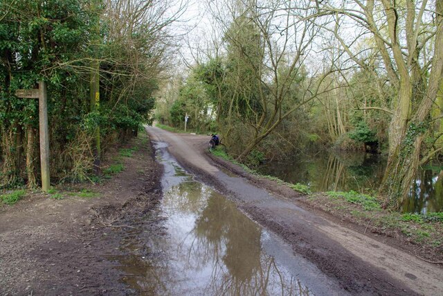
Image: © Glyn Baker Taken: 31 Mar 2021
The long distance path https://ldwa.org.uk/ldp/members/show_path.php?path_name=Icknield+Way+Trail follows the path to the right. The fingerpost on the left indicates the 0.5km Bridleway PROW 31_12.
Images are licensed for reuse under creativecommons.org/licenses/by-sa/2.0
Image Location


Leaflet Map data © OpenStreetMap
Latitude
52.033789
Longitude
0.166616