Monarch?s Way
Introduction
The photograph on this page of Monarch?s Way by Chris Thomas-Atkin as part of the Geograph project.
The Geograph project started in 2005 with the aim of publishing, organising and preserving representative images for every square kilometre of Great Britain, Ireland and the Isle of Man.

There are currently over 7.5m images from over 14,400 individuals and you can help contribute to the project by visiting https://www.geograph.org.uk
Monarch?s Way
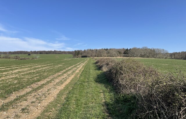
Image: © Chris Thomas-Atkin Taken: 30 Mar 2021
On the Monarch’s Way at Selhurst Park. In the field ahead to the left a tractor was out spraying. This led to an abrupt halt to the planned walk and an alternative direction being taken.
Images are licensed for reuse under creativecommons.org/licenses/by-sa/2.0
Image Location
Latitude
50.891358
Longitude
-0.678257