Path across River Rother flood control embankment
Introduction
The photograph on this page of Path across River Rother flood control embankment by Chris Morgan as part of the Geograph project.
The Geograph project started in 2005 with the aim of publishing, organising and preserving representative images for every square kilometre of Great Britain, Ireland and the Isle of Man.

There are currently over 7.5m images from over 14,400 individuals and you can help contribute to the project by visiting https://www.geograph.org.uk
Path across River Rother flood control embankment
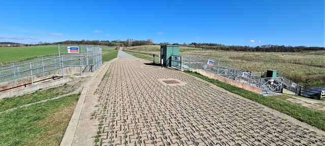
Image: © Chris Morgan Taken: 29 Mar 2021
At centre of Avenue Coking Plant restoration site, now known as Avenue Washlands Nature Reserve, and also a large housing development.
Images are licensed for reuse under creativecommons.org/licenses/by-sa/2.0
Image Location
Latitude
53.211356
Longitude
-1.423024