Track to Jocksleys
Introduction
The photograph on this page of Track to Jocksleys by Anne Burgess as part of the Geograph project.
The Geograph project started in 2005 with the aim of publishing, organising and preserving representative images for every square kilometre of Great Britain, Ireland and the Isle of Man.

There are currently over 7.5m images from over 14,400 individuals and you can help contribute to the project by visiting https://www.geograph.org.uk
Track to Jocksleys
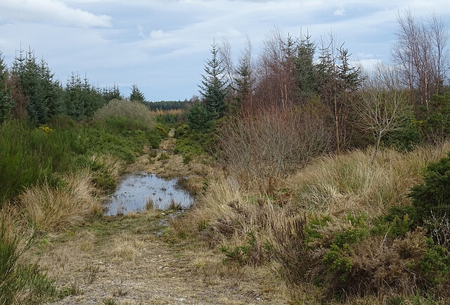
Image: © Anne Burgess Taken: 30 Mar 2021
We might have thought about exploring this old track until we saw that it is flooded. Perhaps with welly boots one day?
Images are licensed for reuse under creativecommons.org/licenses/by-sa/2.0
Image Location
Latitude
57.531952
Longitude
-3.021881