Houlton Way, Houlton
Introduction
The photograph on this page of Houlton Way, Houlton by Stephen McKay as part of the Geograph project.
The Geograph project started in 2005 with the aim of publishing, organising and preserving representative images for every square kilometre of Great Britain, Ireland and the Isle of Man.

There are currently over 7.5m images from over 14,400 individuals and you can help contribute to the project by visiting https://www.geograph.org.uk
Houlton Way, Houlton
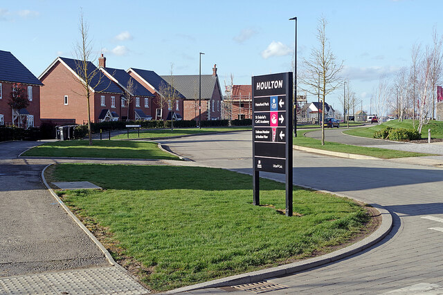
Image: © Stephen McKay Taken: 25 Mar 2021
Houlton Way is one of the main thoroughfares through Houlton. It is seen here from the junction with Gabriel's Way where a sign points visitors to some of the housing developments and St Gabriel's Academy.
Images are licensed for reuse under creativecommons.org/licenses/by-sa/2.0
Image Location
Latitude
52.357106
Longitude
-1.184443