WSW along the A465, Tafarnaubach
Introduction
The photograph on this page of WSW along the A465, Tafarnaubach by Jaggery as part of the Geograph project.
The Geograph project started in 2005 with the aim of publishing, organising and preserving representative images for every square kilometre of Great Britain, Ireland and the Isle of Man.

There are currently over 7.5m images from over 14,400 individuals and you can help contribute to the project by visiting https://www.geograph.org.uk
WSW along the A465, Tafarnaubach
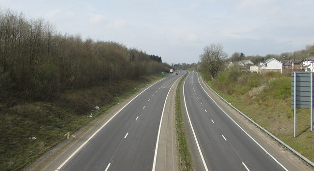
Image: © Jaggery Taken: 15 Apr 2019
Looking to the west southwest along the A465 Heads of the Valleys Road from the Merthyr Road bridge. https://www.geograph.org.uk/photo/6790143
Images are licensed for reuse under creativecommons.org/licenses/by-sa/2.0
Image Location
Latitude
51.783975
Longitude
-3.276243