Footpath behind houses on Acres Hall Avenue, Pudsey
Introduction
The photograph on this page of Footpath behind houses on Acres Hall Avenue, Pudsey by Stephen Craven as part of the Geograph project.
The Geograph project started in 2005 with the aim of publishing, organising and preserving representative images for every square kilometre of Great Britain, Ireland and the Isle of Man.

There are currently over 7.5m images from over 14,400 individuals and you can help contribute to the project by visiting https://www.geograph.org.uk
Footpath behind houses on Acres Hall Avenue, Pudsey
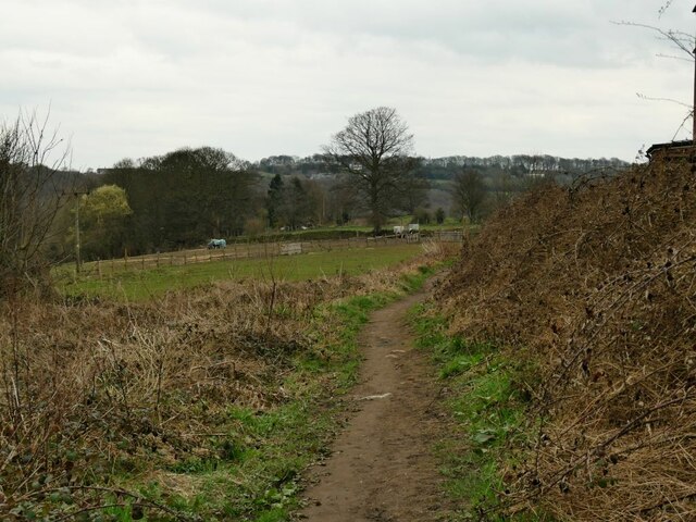
Image: © Stephen Craven Taken: 23 Mar 2021
This is part of a public footpath from Pudsey town centre to Troydale, and seems to follow the ancient route from before the houses to the right were built.
Images are licensed for reuse under creativecommons.org/licenses/by-sa/2.0
Image Location
Latitude
53.793157
Longitude
-1.648545