Felled Ash, Pondtail Shaw
Introduction
The photograph on this page of Felled Ash, Pondtail Shaw by Robin Webster as part of the Geograph project.
The Geograph project started in 2005 with the aim of publishing, organising and preserving representative images for every square kilometre of Great Britain, Ireland and the Isle of Man.

There are currently over 7.5m images from over 14,400 individuals and you can help contribute to the project by visiting https://www.geograph.org.uk
Felled Ash, Pondtail Shaw
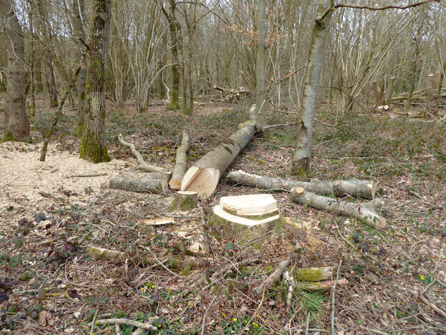
Image: © Robin Webster Taken: 27 Mar 2021
All the Ash in the shaw is being felled as Horsham Council have advised that Ash dieback is present. This appears to be a safety issue as the wood was intended to be a public amenity and the Kilnwood Vale people did not want to be sued for injuries from falling trees or parts thereof. It has dawned on most that the disease cannot be controlled by any feasible action.
Images are licensed for reuse under creativecommons.org/licenses/by-sa/2.0
Image Location
Latitude
51.101046
Longitude
-0.2458