Wyre Hill, Bewdley, Worcs
Introduction
The photograph on this page of Wyre Hill, Bewdley, Worcs by P L Chadwick as part of the Geograph project.
The Geograph project started in 2005 with the aim of publishing, organising and preserving representative images for every square kilometre of Great Britain, Ireland and the Isle of Man.

There are currently over 7.5m images from over 14,400 individuals and you can help contribute to the project by visiting https://www.geograph.org.uk
Wyre Hill, Bewdley, Worcs
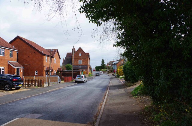
Image: © P L Chadwick Taken: 27 Mar 2021
Wyre Hill is a very long road which in this direction eventually starts a very steep descent towards the town centre. Its last section is called Sandy Bank and eventually forms a junction with Welch Gate. Wyre Hill is interesting for its mix of modern and very old houses. The steep section can be difficult to negotiate in a car if another vehicle is coming up the hill, because of parked vehicles.
Images are licensed for reuse under creativecommons.org/licenses/by-sa/2.0
Image Location
Latitude
52.372502
Longitude
-2.326624